#HC022 bigler_topo.jpg image access Topo map of the Bigler Canal.
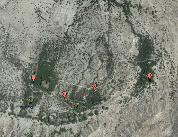
North = up near N 32.85017 W 109.94488The artesian Bear Springs aquafier was a one time hippy
commune that sourced the apparently prehistoric Bigler
Canal and an abondoned historic Bear Springs Canal of
unknown prehistoricity. Access is lock gate restricted.
The nearest dirt road is N 32.85057 W 109.93437.
Click to expand the image.
Possible field notes here.