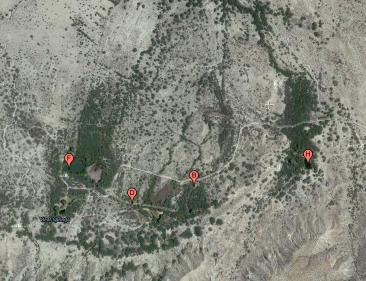
#HC021 bigler_map.jpg image access Image map of the Bigler Canal.
North=up near N 32.85017 W 109.94488The Bigler Canal still flows to this day yet appears
to have been built to prehistoric standards. It seems
artesian derived from the Bear Springs aquifier. The
Access is restricted by a locked gate. Its source gets
shared with the abandoned Bear Springs Canal whose prehistoricity remains likely but unproven.
The nearest dirt road is N 32.85057 W 109.93437.
Click to expand the image.
Possible field notes here.