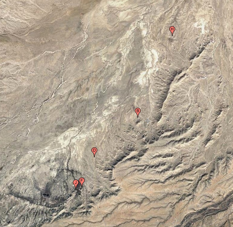
#HC019 bearsprings_map.jpg access Image map of the Bear Springs historical canal area.
Viewed "north=up" near N 32.87436 W 109.91823.A significant artesian aquafier appears to be the source
for the Bear Springs, Bigler, and Bear Flat Canals. The
Bear Springs Canal seems to now be abandoned but was
built to oversize "Gradeall" historic standards. This may
have been an investment scam in that the huge size of the
canal utterly exceeded the possible artesian source flow. A
prehistoric origin remains unproven but it would have been unlikely for such a useful routing to have gotten ignored.
The nearest dirt road is N 32.85363 W 109.93750.
Click to expand the image.
Possible field notes here.