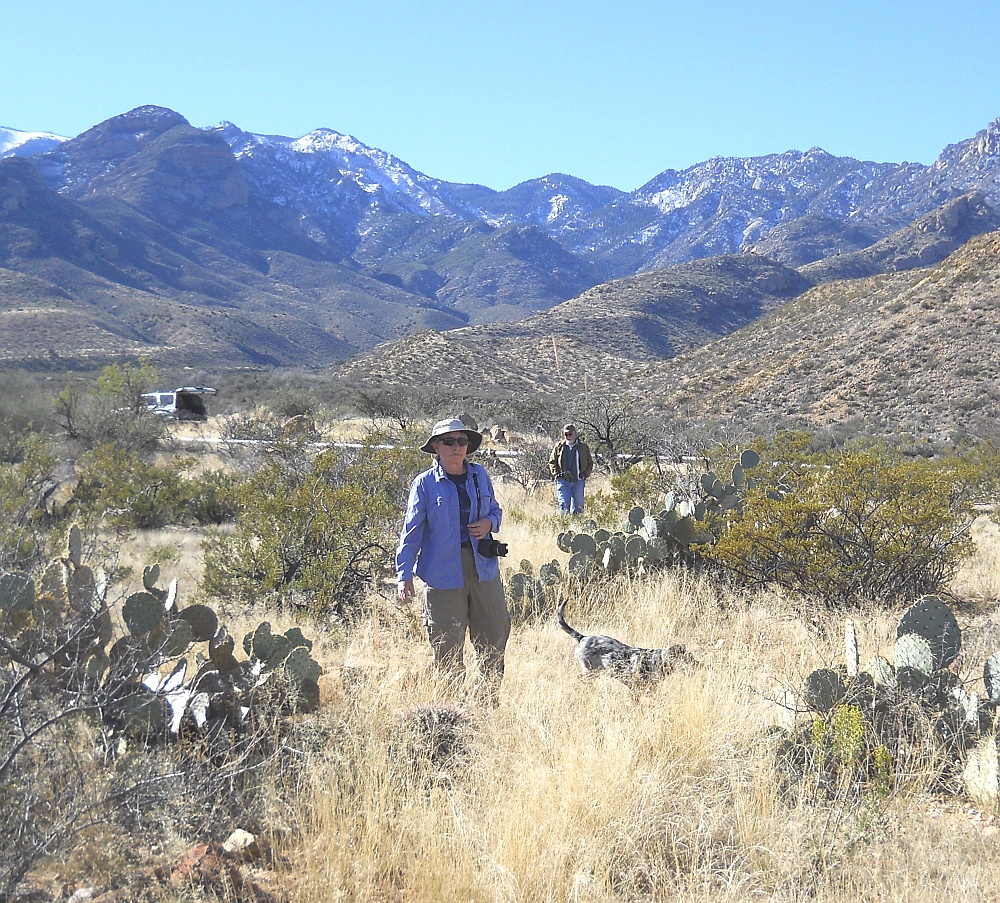
#HC017 watershd1.jpg image access Watershed Crossing between Ash Creek and Mud Springs.
View is to the south at N 32.79160 W 109.85369.Two of the most spectacular engineering features of the bajada
canals are its watershed crossings. Where a canal works "up"
out of one drainage and "down" into another. Shown here is
the absolutely optimal crossover from water sourcing Ash
Creek and the water needing Mud Springs drainage that
services the Mud Springs and Jernigan and Canals. A
second watershed crossing is still unproven but seems
to be essential between Frye and Spring Canyons.
A third Nuttall crossing was likely unused. And a
fourth Tripp Canal crossing is still unexplored.The nearest 4WD road is N 32.79077 W 109.85459.
Click to expand the image.
Possible field notes here.