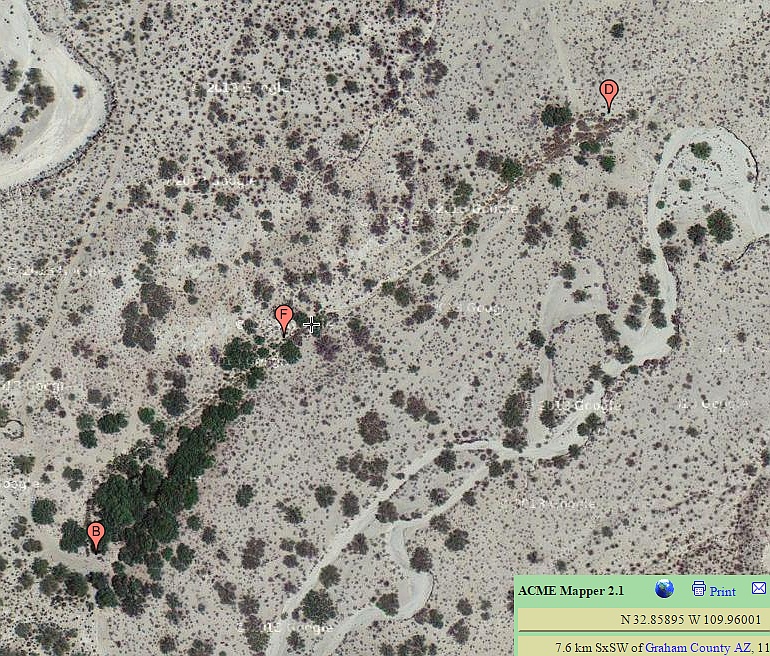
#HC016 bearflat_map.jpg image access Image map showing location of Bear Flat Canal.
Interest area is N 32.84678 W 109.96218An image map of a shorter canal west of the Bear Springs
area. Flows to this day but not apparently in use. Seems to
meet prehistoric construction standards, but not yet proven. Difficult access track is best hiked. Possibly related to the
Bear Springs artesian aquifier.
The nearest rough 4WD track is N 32.84070 W 109.96711.
Click to expand the image.
Possible field notes here.