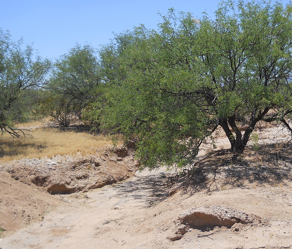
#HC013 band3.jpg image access Main path of Bandelier Canal.
Viewed south near N 32.94081 W 109.92133.A canal complex in the vicinity of US70 and Aravaipai Road
was first noted by Bandlelier. It appeared to source from a
one time artesian lake at N 32.93523 W 109.94133 and
routed to N 32.94532 W 109.91161. This image is of
the main feeder between lake and canal branches.
It appears to be a largely unmodified drainage.The nearest dirt road is N 32.94088 W 109.92067.
Click to expand the image.
Possible field notes here.