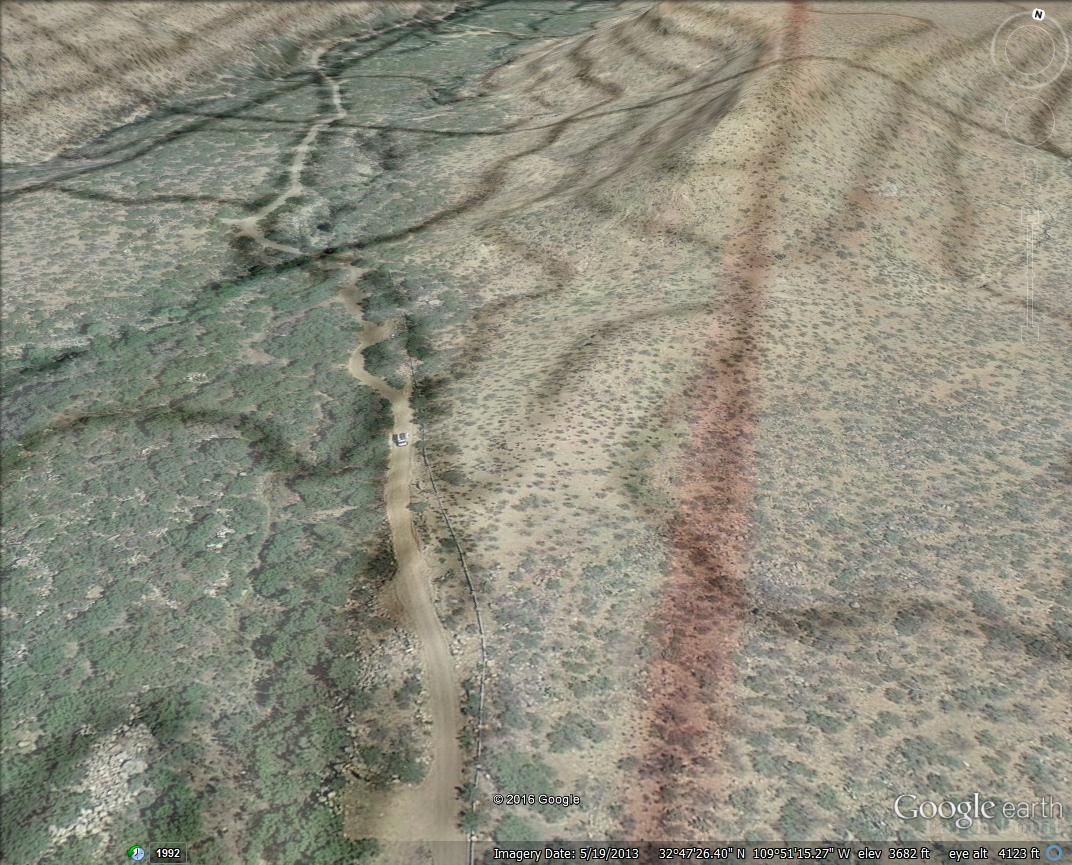
#HC008 ash.topo1.jpg image access Ash Creek Watershed Combined Imagery.
Viewed north at N 32.79160 W 109.85369A merging of Ash Creek topography and imagery that
clearly shows us the watershed crossing where that red
section line crosses the saddle. The engineering needed
to create any watershed crossing is utterly astonishing.
This one is verified, and a second routing from upper
Frye Canyon seems required but still unproven.The nearest 4WD road is N 32.79164 W 109.85515.
Click to expand the image.
Possible field notes here.