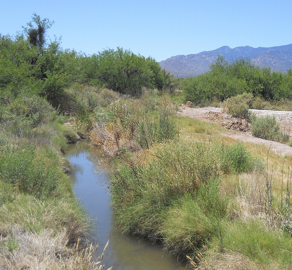
#HC004 artes1b.jpg image access Artesia 1B Historic Canal
Viewed south near N 32.75359 W 109.71865
One of several historic and still flowing artesian canals that
still see use to this day. It seems unlikely that such a prehistoric
resource would have been ignored. Presently feeds a small lake
north of Roper Lake State Park. Tranquility prehistoric canal
appears but amains unprovenly related to the same aquafier. The water table appears to be dropping significantly.
The nearest highway is N 32.75595 W 109.71659
Click to expand the image.
Possible field notes here.