#HC003 aquad3.jpg image access Lebanon Aquaduct Saddle Crossing Flume
Viewed south near N 32.74042 W 109.74312
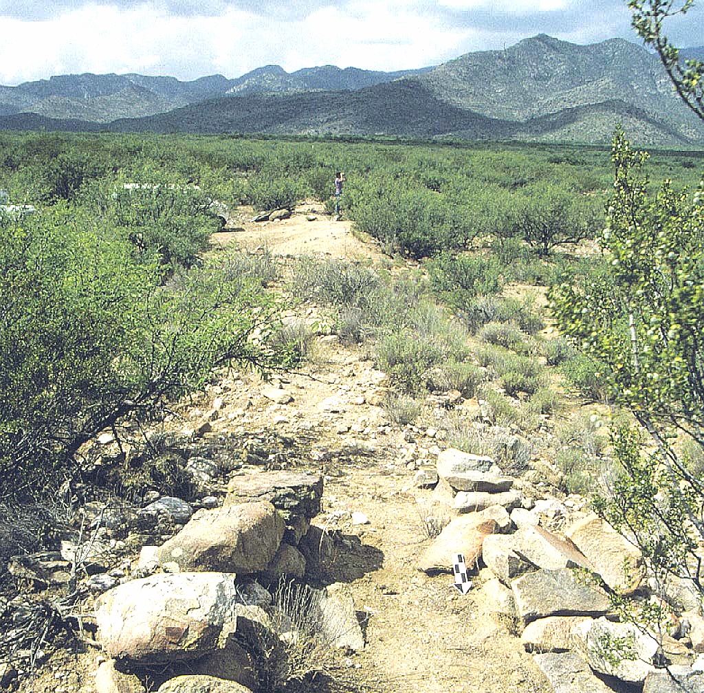
One of the most spectacular sub-features of the entire
hanging canal system and one that demanded really major
earthmoving and survey expertise. This dirt embankment is
several hundred feet long by four to six high. This flume both
supports and conveys the High Lebanon Canal above a saddle that was the highest of available natural terrain.
The nearest rough 4WD track is N 32.74020 W 109.74305.
Click to expand the image.
Possible field notes here.