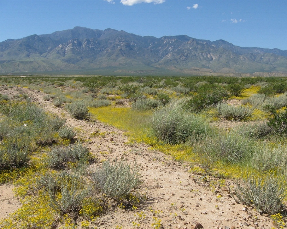
#HC002 mud2.jpg image access Mud Springs Canal near its north known end.
Viewed south near N 32.84767 W 109.81102
Almost the total Mud Springs Canal can be seen in this image,
sourcing midway up Ash Creek. Which suggests it might have
been an earlier prototype owing to its viewable route. This is
as close to a northern destination as is known. Some routings
might conceviably lie undreneath existing roads or trails. Two
possible destinations might be the Central dump or cemetary.
The nearest 4WD track is N 32.84798 W 109.81105.
Click to expand the image.
Possible field notes here.