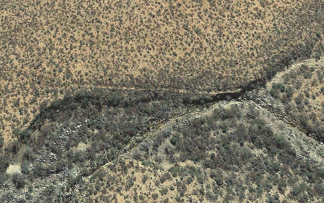
#HC014 sandti1.jpg image access Vertical view of the Sand Canal Takein.
Viewed "top = east" near N 32.81261 W 109.94696.The takein does a significant "climb" during its hanging
portion needed to reach the mesa top here. The Gila
Longfin Dace fish has been observed a mile upstream.
The nearest 4WD track is N 32.81113 W 109.94468.
Click to expand the image.